Stanley The Raindrop Needs Your Flooding Locations
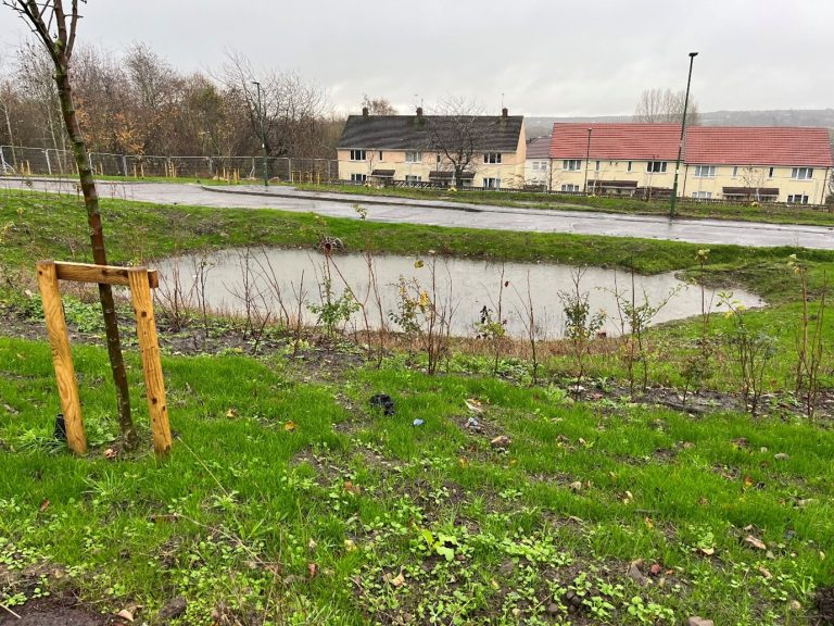
Do you know somewhere which floods? Can you pin point it on our map? We want to know more about the areas which flood in Stanley South as part of our project. It could be property flooding, roads, footpaths or gardens. It could even be car parks, play areas or public rights of way. If you have a photograph we could use to illustrate your entry that would be fantastic. The flood map will be useful to the project adding to the SuDS+ picture by collecting local knowledge. Visit our map to start flood mapping or click on the picture of Stanley The Raindrop below.