SuDS+ Data Portal Update
A Smart Data Repository Tool for Local Environmental Monitoring: A Work in Progress
Our monitoring team at Teesside University has been working to develop a data repository tool, designed to collect and visualize data from various environmental sensors. This tool is a part of SuDS+ and promises to provide stakeholders with insights into local environmental conditions, supporting sustainable urban drainage solutions and enhancing overall water management strategies. It is planned to allow public access to the data over the next six months.
We’re excited to share the progress made on our data repository tool, which will serve as a central hub for visualizing and analyzing the data collected by our sensors. Though still in development, the tool already provides a few features.
Interactive Map Displaying Sensor Locations
The homepage provides users with an interactive map of Stanley, pinpointing the locations of all sensors deployed across the study area. By clicking on any sensor marker, users can view key information about that sensor such as sensor type and the installation date.

Rain Gauge Data Visualisation
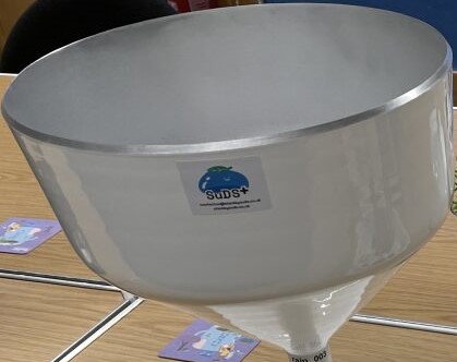
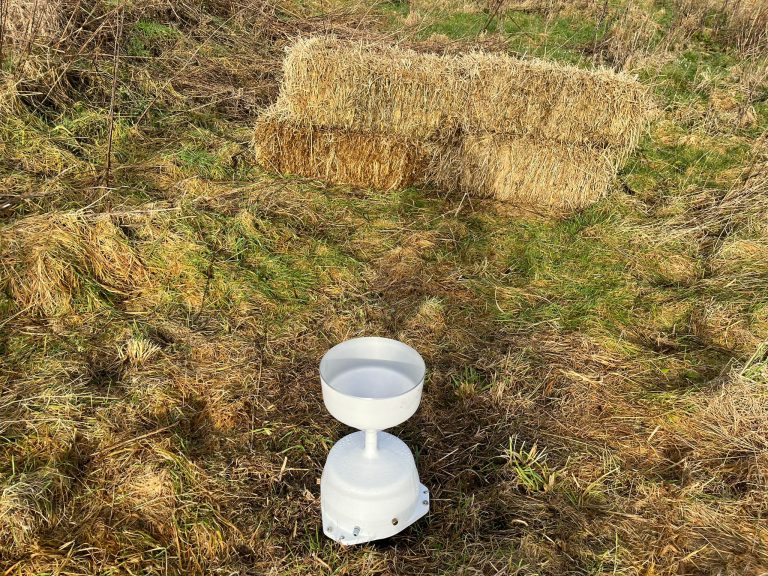
The second page of the tool focuses specifically on data collected from the rain gauges. Users can select any rain gauge, choose a specific date, and view the data in a mode that suits their needs. Whether it’s an hourly view of rainfall or a more granular 5-minute interval, users can easily navigate through data points for a complete picture of local precipitation patterns.

Weather Station Data Visualization
Similarly, another page is dedicated to data from weather stations, offering an identical user experience. By selecting parameters such as date, mode, and frequency, users can visualize weather data in a format that is both informative and intuitive.

What’s Next?
As we continue to enhance this tool, our goal is to expand its functionality, incorporating data from additional sensors like soil moisture, water quality, and water levels along with adding more visualisations. Our objective is to create a comprehensive platform that gives researchers, stakeholders, and the general public access to invaluable environmental data for making data-driven decisions about water management in Stanley.



One Comment