
September 26th Wettest Day Of The Year So Far In Stanley
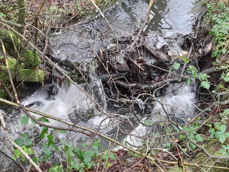
Our staff and volunteers have collected the data from rain gauges and depth monitors up to the beginning of October. We now have 8 months of data from the three rain gauge locations near South Moor (upper Twizell), South Stanley and Craghead. The water level and temperature measurements, from the sensors installed over the Summer, are building a picture over time of the links between rainfall and river data.
Each rain gauge shows a similar pattern when overall accumulation is shown. The blue spikes show the rainfall each day with the orange line the total rainfall rainfall since the gauges were installed on 5th January. Both are in measured in millimetres and help to show the highest rainfall incidents and how these effect the upward trajectory of the overall rainfall line.


Each rain gauge has a slightly different amount of rain each month and the results are not always predictable. Rain gauge 3 in Craghead had the most rainfall in recorded in February but between March and August had the lowest amount of rain each month. Rain gauge 2, in South Stanley, has had the most rain in these months apart from May when rain gauge 1, located in South Moor, was tipped most often.


Rain Gauge 1
| Rain_001 for the whole period 6th Jan to 6th Oct 2024 (275 days) | ||
| Total gauge tips | 3592 | |
| Total rainfall | 707.6 | |
| Maximum rainfall | 49.6 | |
| No. dry days | 94 | |
| No. wet days | 181 | |
| Top 3 wettest days | 09-Apr-24 | 30.3 |
| 22-May-24 | 41.2 | |
| 26-Sep-24 | 49.6 | |
Rain Gauge 2
| Rain_002 for the whole period 6th Jan to 6th Oct 2024 (275 days) | ||
| Total gauge tips | 3596 | |
| Total rainfall | 719.2 | |
| Maximum rainfall | 52.6 | |
| No. dry days | 101 | |
| No. wet days | 174 | |
| Top 3 wettest days | 09-Apr-24 | 32.0 |
| 22-May-24 | 41.0 | |
| 26-Sep-24 | 52.6 | |
Rain Gauge 3
| Rain_003 for the whole period 6th Jan to 6th Oct 2024 (275 days) | ||
| Total gauge tips | 3338 | |
| Total rainfall | 657.6 | |
| Maximum rainfall | 50 | |
| No. dry days | 102 | |
| No. wet days | 173 | |
| Top 3 wettest days | 09-Apr-24 | 28.6 |
| 22-May-24 | 35. 5 | |
| 26-Sep-24 | 50.0 | |
All three of our rain gauges had their wettest day of the year on 26th September with a least 8mm more rain falling than any other day so far. This can be seen on the graph below which combines rain gauge data and depth data. The blue spikes of rainfall correspond with rises in water level. From a Summer average of around 0.2 metres depth heavy rainstorms in May and September increased the level to over 0.4 metres.

Our next collection of data will be in around 6 weeks and we will provide an update in late November.


2 Comments